Western Montana
Please accept my apologies for the long time gap between when I had these experiences and when I am posting them. In August of 2021, I made the decision to move back to New Jersey because the U.S./Canada border remained closed due to COVID-19, making it impossible for me to achieve my final goal of visiting Alaska. I had no idea when the border would reopen and had been bouncing around the western U.S. for two years so I returned home to re-settle into a stationary lifestyle. I have since bought a house at the Jersey Shore but as of this writing, I’m off on one final adventure to Alaska so stay tuned!
GLACIER NATIONAL PARK – July 13-20, 2021
Montana might be my favorite state so far. It’s breathtakingly beautiful and this stop provided two bucket list items for me. The first was Glacier National Park, possibly the most beautiful place in the lower 48 states. Second, I got to go white water rafting and it was awesome!
I was excited to go white water rafting with Glacier Raft Company out of West Glacier, MT. The Middle Fork of Flathead River runs along the southern border of the park and this trip was five miles of Class II-III rapids. Our professional guide taught us important paddling and steering commands and we were all active participants in maneuvering the raft.
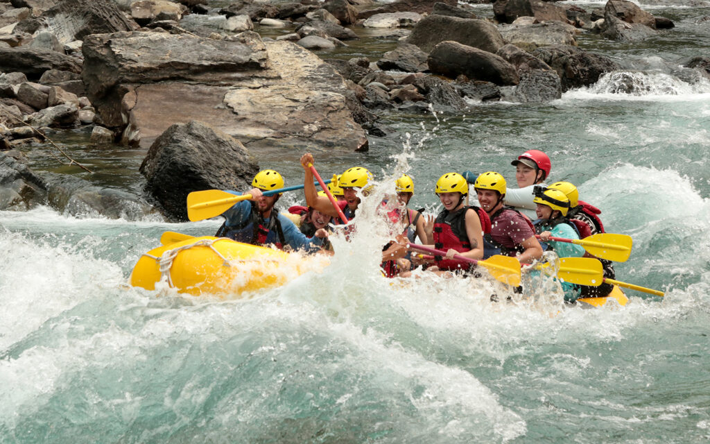
Whitewater rafting on the Flathead River. That’s me in the aqua shirt at the far right.
I stayed on the west side of the park in West Glacier, MT at the KOA. This was, by far, the largest and most beautiful KOA I’ve ever seen. It was beautifully landscaped and included, two pools, a restaurant, an ice cream parlor, as well as daily crafts and live entertainment.
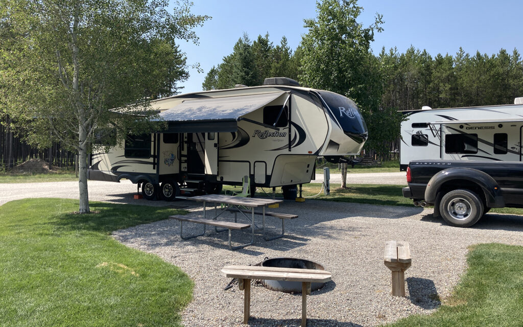
My campsite at West Glacier KOA.
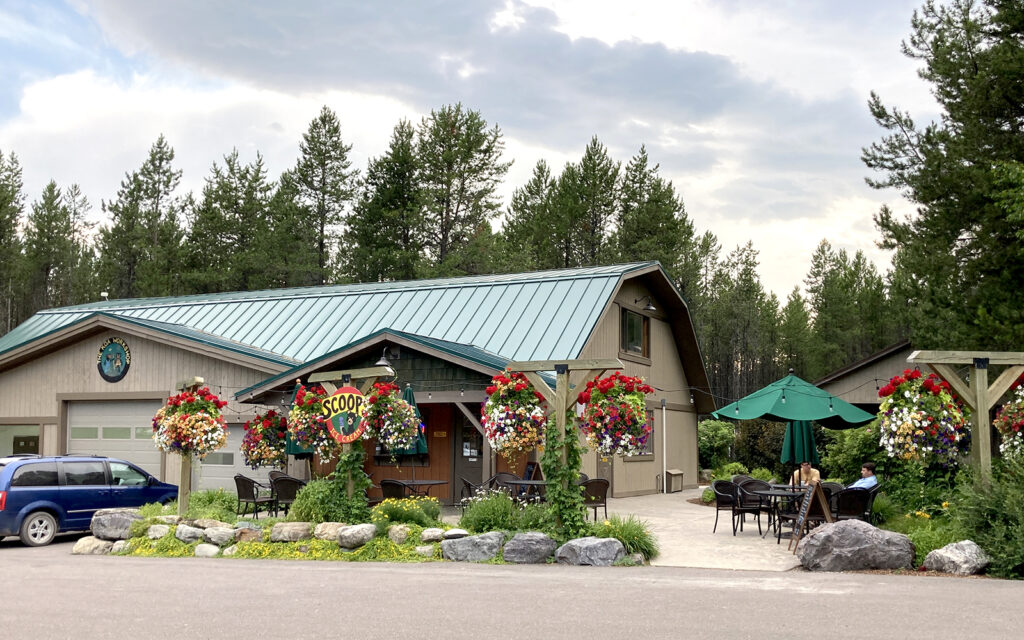
The ice cream parlor at West Glacier KOA.
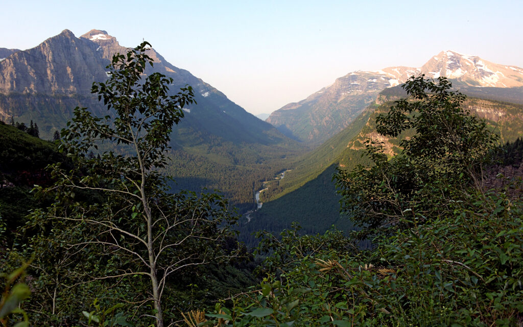
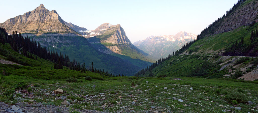
The park is one million acres of rugged mountains, lakes, waterfalls, and, of course, glaciers. There is extremely limited vehicular access, nearly the entire park is only accessible by back-country hiking. Only one road gets a visitor from one side of the park to the other. Going-to-the-Sun Road cuts across the center of the park from east to west. Its highest point is Logan Pass at 6,646 feet where I saw a beautiful sunrise.
Some stretches of the road are not for the faint of heart as it can be very narrow with barely room for two vehicles to pass—let alone “Big Ass Truck.” There were a few spots where I was concerned I’d scrape a fender.
The glaciers are all on the east side of the park and are challenging to get to. I never ventured all the way to that side but was able to get a distant view of Jackson Glacier from an overlook halfway along the Going-to-the-Sun Road.
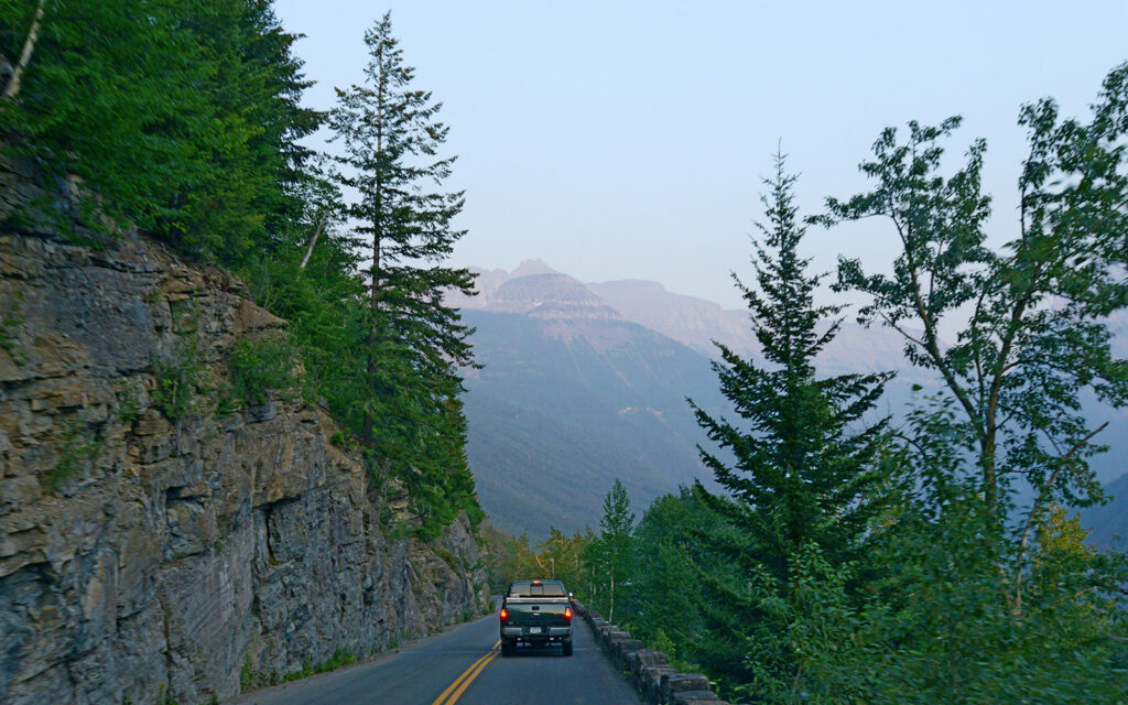
Going-to-the-Sun Road is the only route that crosses the entire park.
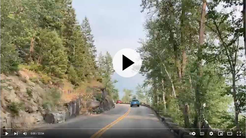
Click on the image to watch a point-of-view video of the drive on Going-to-the-Sun Road. It’s a long video so feel free to fast-forward or jump to a different spot. In one segment, I’m following a black pickup truck. When you watch how it negotiates the turns and oncoming traffic, keep in mind that “Big Ass Truck” is nearly two feet wider.
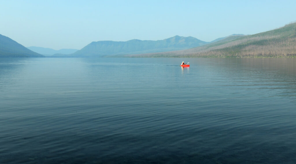
A kayaker on Lake McDonald at sunrise.
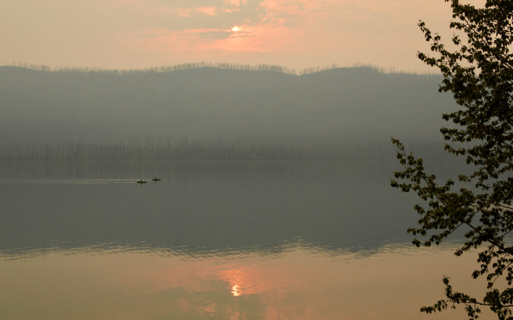
A pair of kayakers on Lake McDonald at sunset with smoke effects thanks to forest fires to the west.
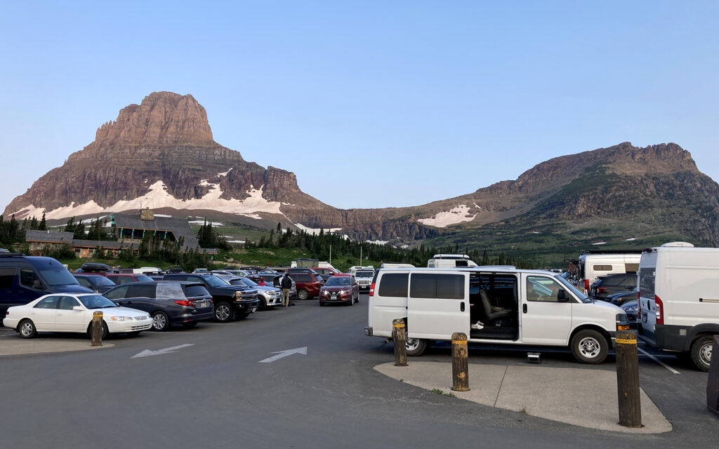
The parking lot at Logan Pass was already full at 6 a.m. I was lucky to get the last spot.
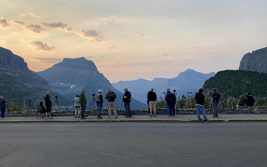
A lot of people had the same idea as me. I didn’t realize the sunrise here was a “thing” but apparently, lots of people come for it. This reminded me of the lighthouse photography workshops I do with everyone lined up to get their shots.
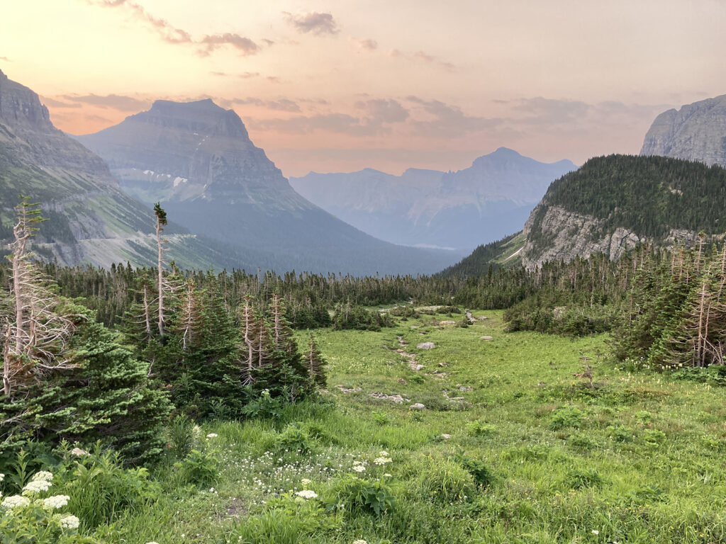
And this is why we all got here so early. I think it has a “Lord of the Rings” feel to it.
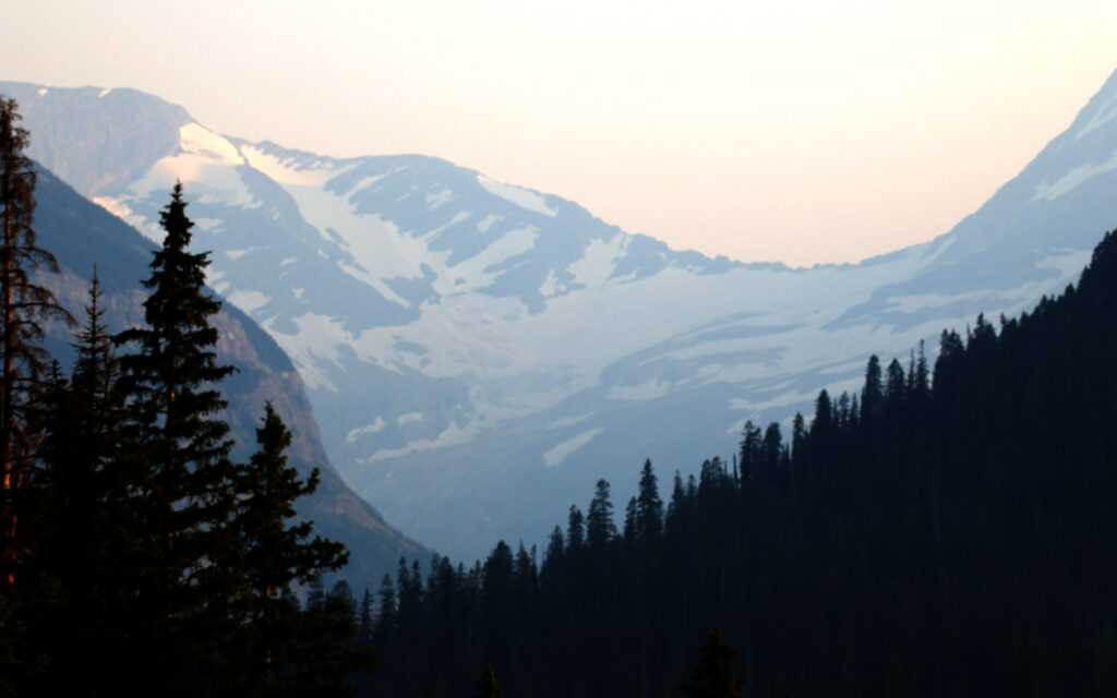
Jackson Glacier from a viewpoint several miles away.
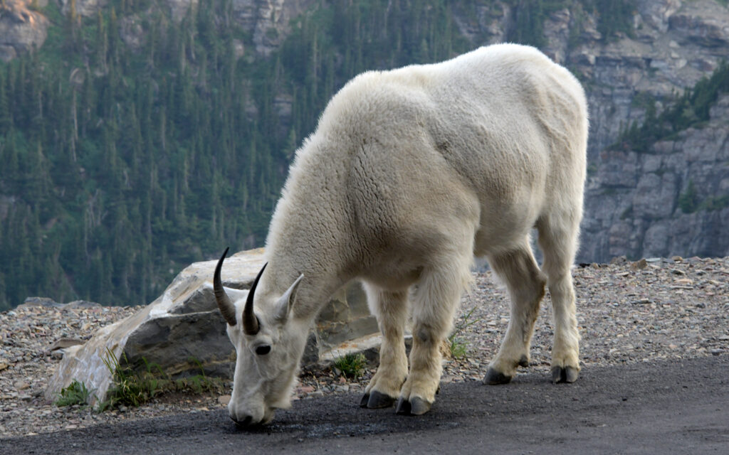
This mountain goat was not the least bit bothered by all the auto traffic.
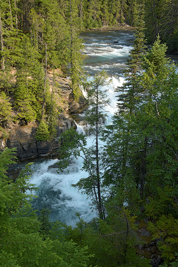
McDonald Falls
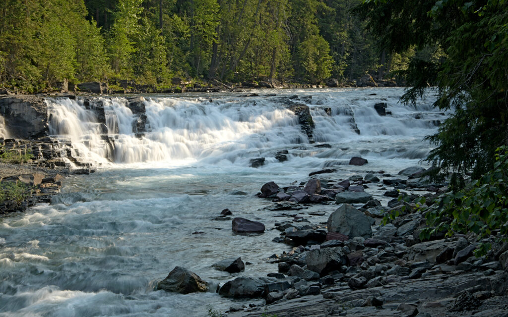
Sacred Dancing Cascade
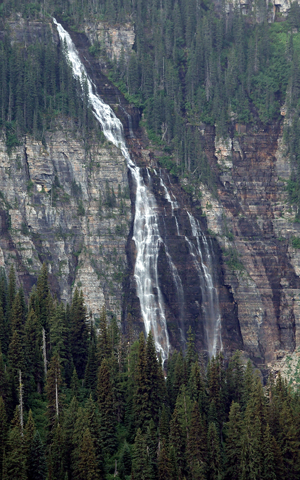
Bird Woman Falls
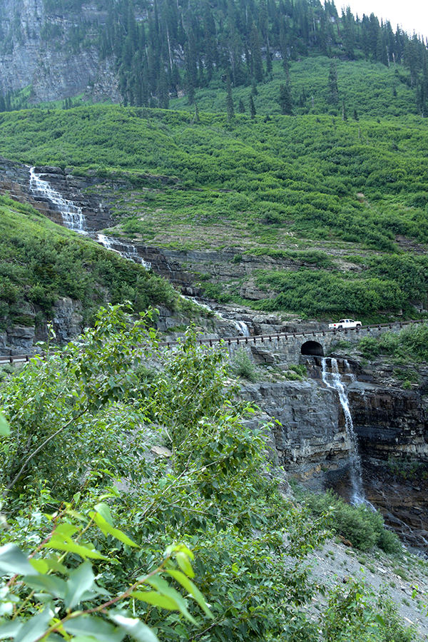
Haystack Falls
MISSOULA – July 20-27, 2021
My next stop was Missoula and several nature and historic sites as well as a trail ride. I stayed at Granite Peak Campground just off I-90.
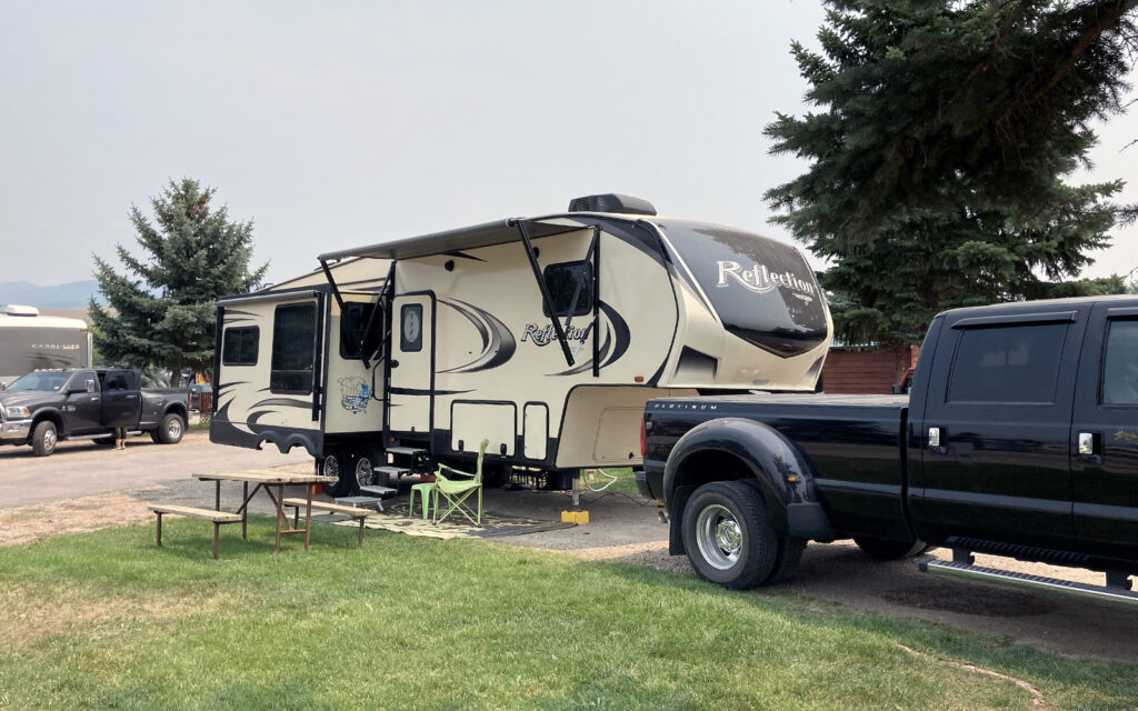
My site at Granite Peak Campground in Missoula, MT.
TRAVELERS’ REST
Located in the Bitterroot Valley, this was an encampment of the Lewis & Clark Expedition (formally called Corps of Discovery) in September 1805. From here, they were shown the trail over the mountains and onward to the Pacific Ocean by local Nez Perce tribesmen. It is now Travelers’ Rest State Park and National Historic Landmark and a lovely place to have lunch by the creek and walk in the footsteps of true American heroes.
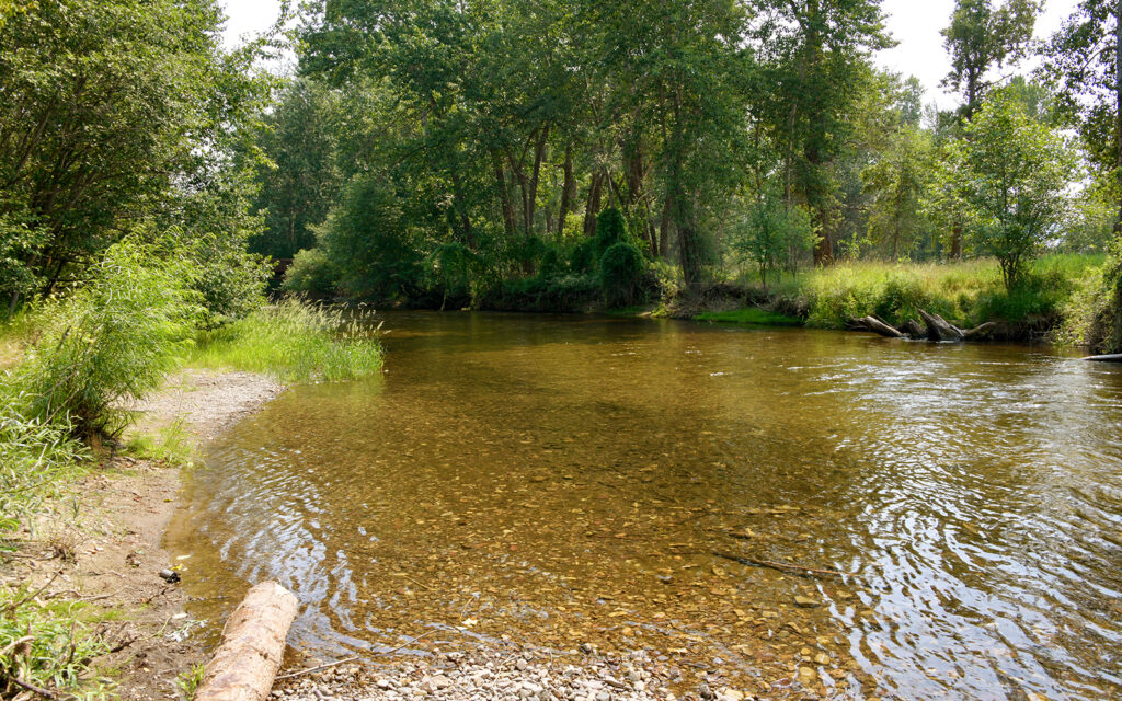
Lolo Creek in Travelers’ Rest State Park.
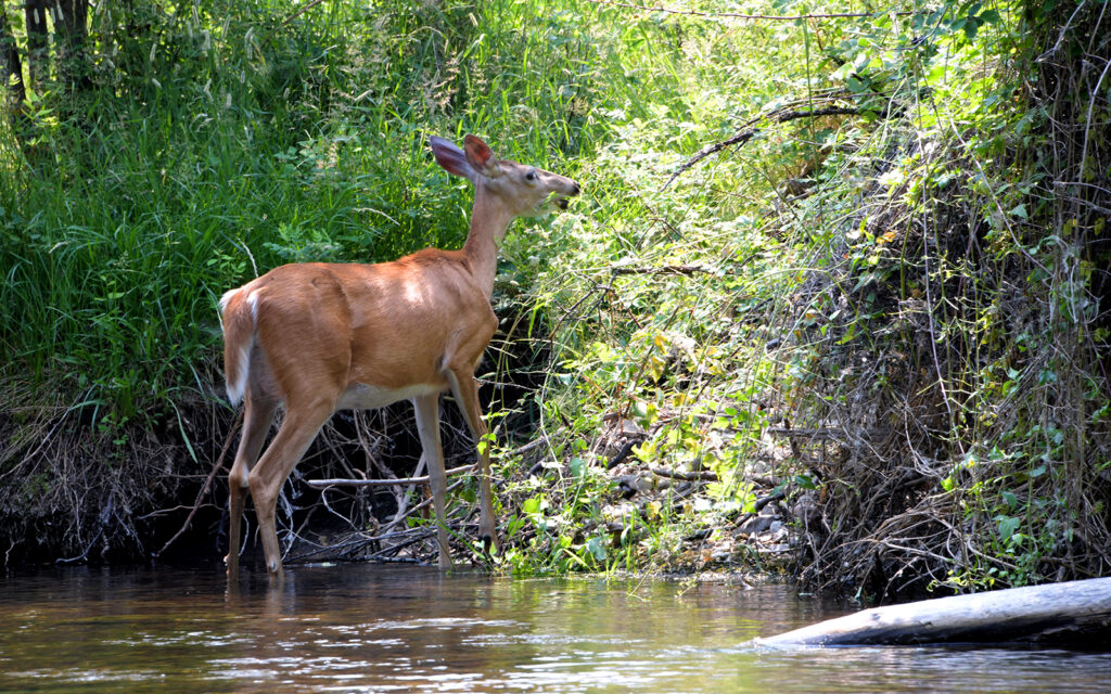
Deer at the creekside.
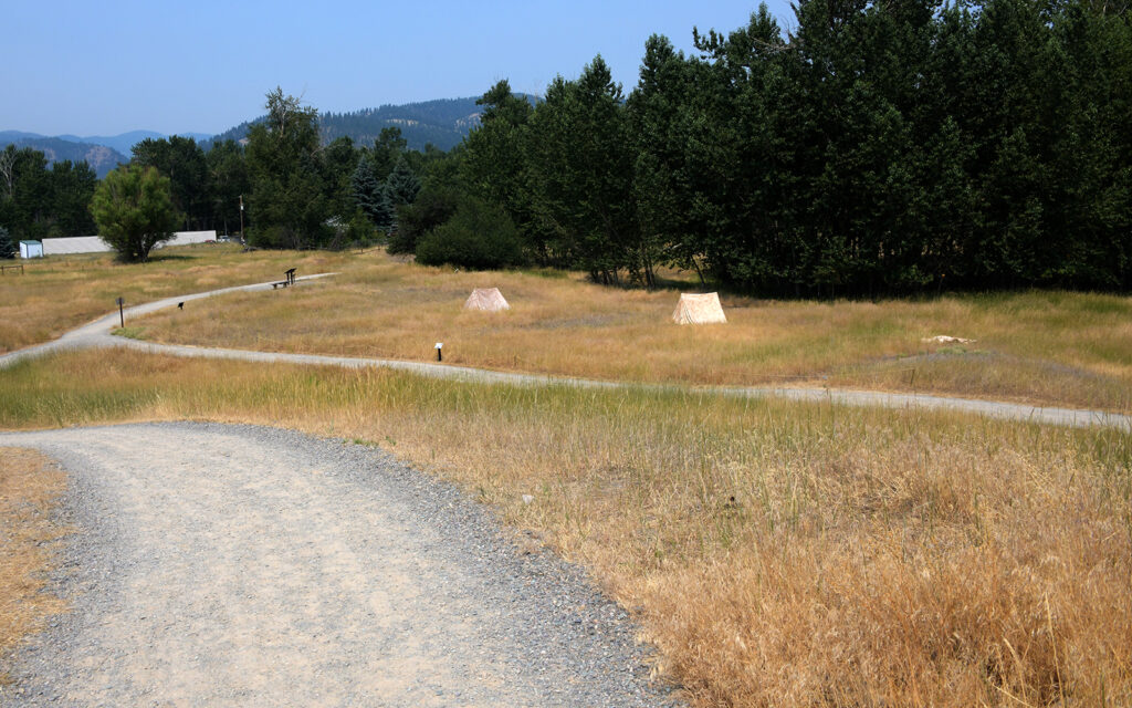
A short walking trail with markers describing the Corps of Discovery’s encampment.
FORT MISSOULA
First built as a military post in 1877, Fort Missoula served the U.S. Army through World War II, at which time it operated as an Alien Detention Center, housing more than 2000 Italian and Japanese foreign nationals. Many buildings remain from the different eras at the fort and other historic buildings from around Missoula have been moved here to add to the rich history of the area.
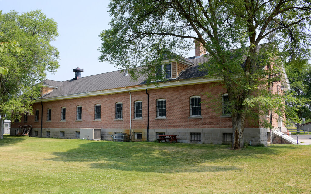
Fort Missoula’s Quartermaster’s storehouse built in 1911.
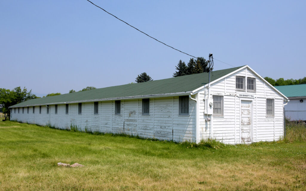
Alien Detention Center barracks building from WWII.
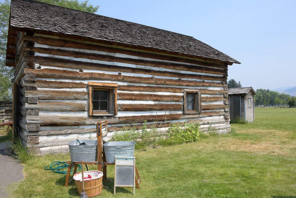
Hayes homestead cabin built c. 1900. Moved here in 1974.
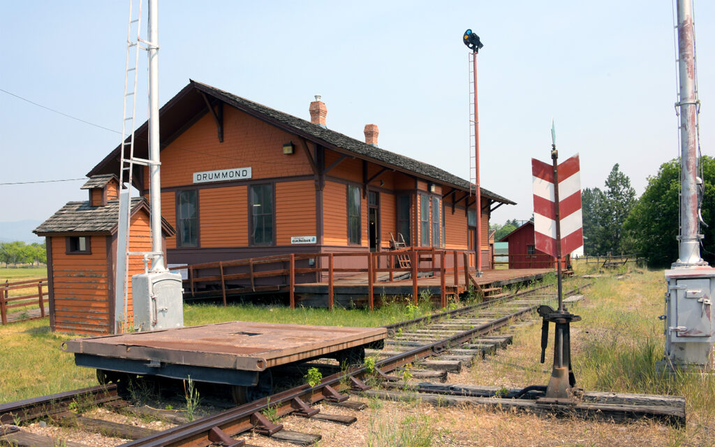
Drummond Depot was built in 1910. Moved here in 1982.
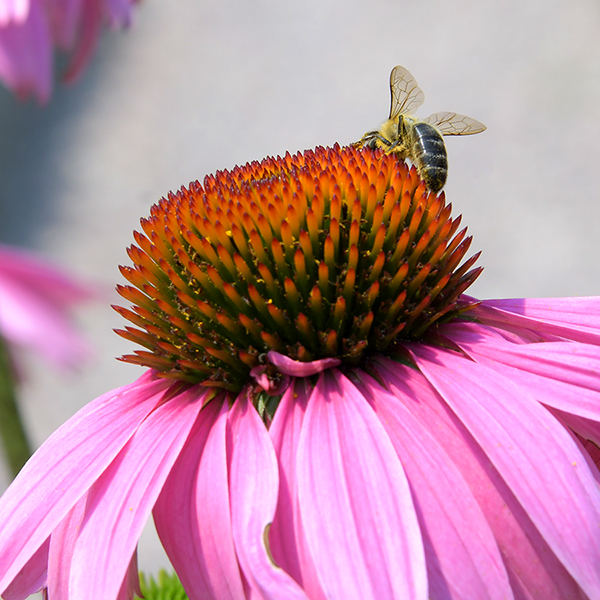
I couldn’t resist photographing this bee on a Coneflower.
NATIONAL BISON RANGE
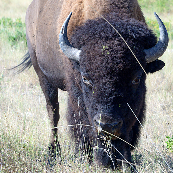
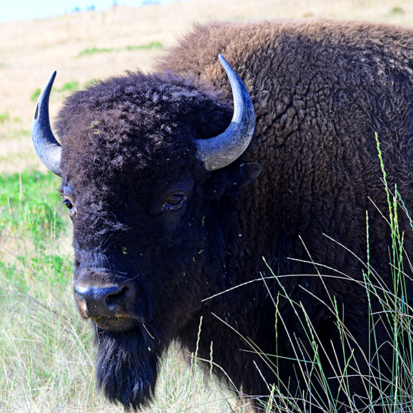
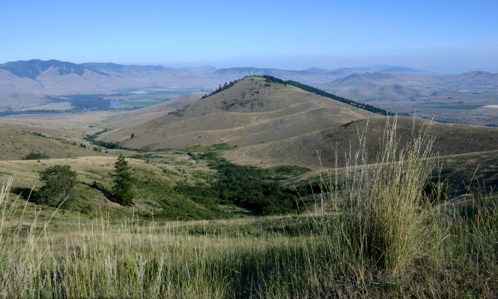
Driving 50 miles north of Missoula, I found the National Bison Range. In 2020, this land was returned to the Confederated Salish and Kootenai Tribes. This bison herd descends from a free-ranging reservation herd started by tribal members in the 1800s when plains bison were nearly extinct.
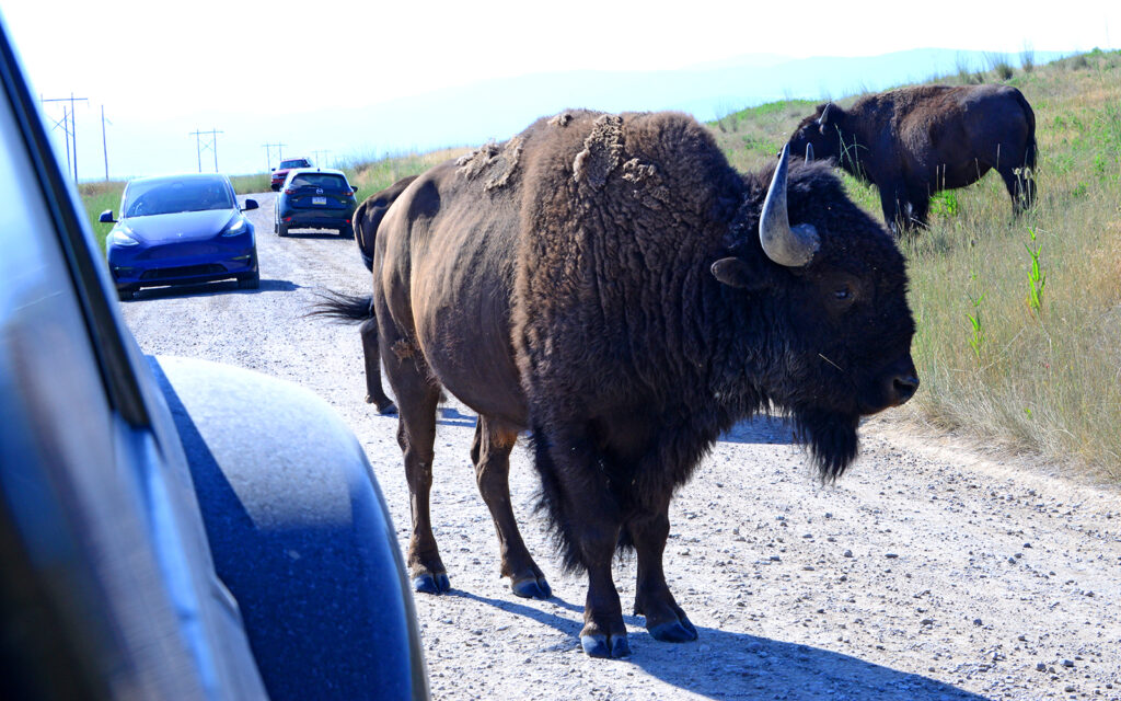
For $10 per car, one can take a 24-mile self-guided auto tour through the beautiful landscape but visitors are cautioned not to exit their vehicles except at two designated hiking trails. Even then, there are signs warning of grizzly bear habitats. I was sure to carry my bear spray while hiking one of these trails.
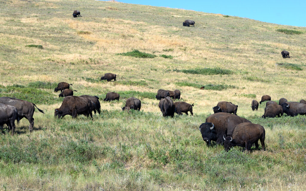
Bison herd grazing on a hillside.
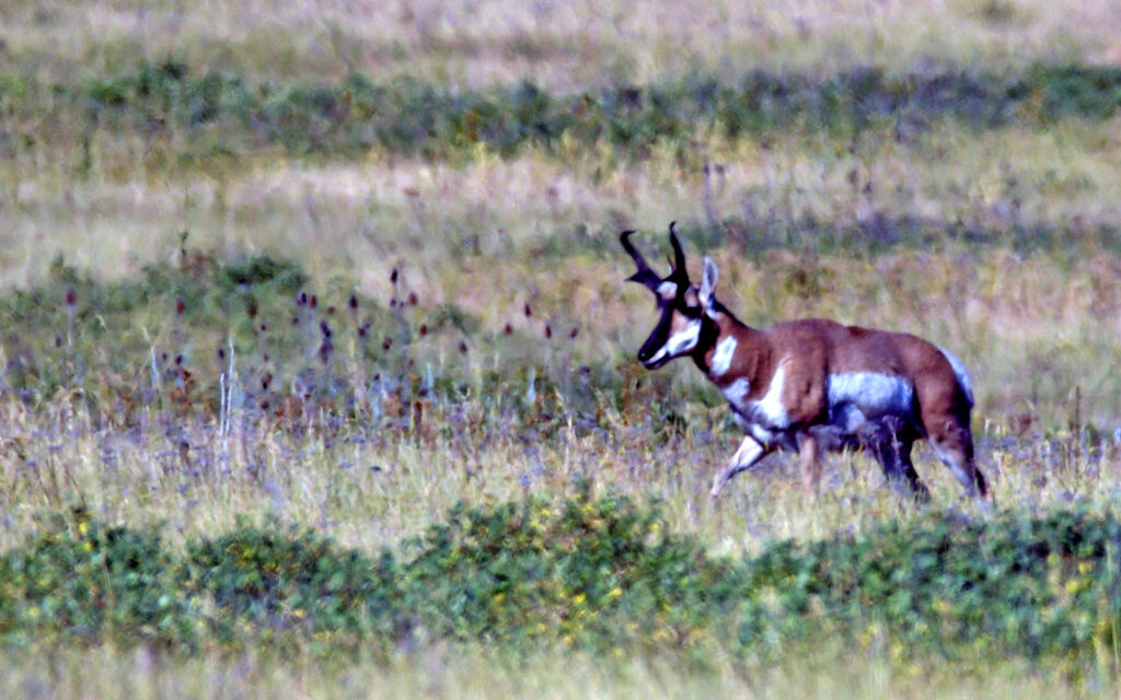
Pronghorn
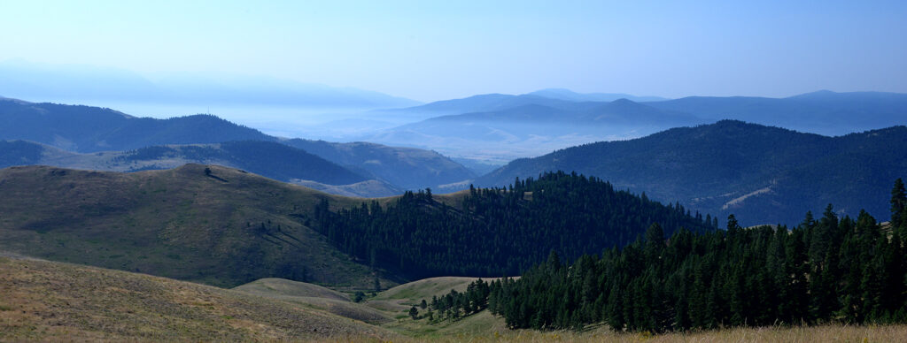
Scenic view along the auto tour road.
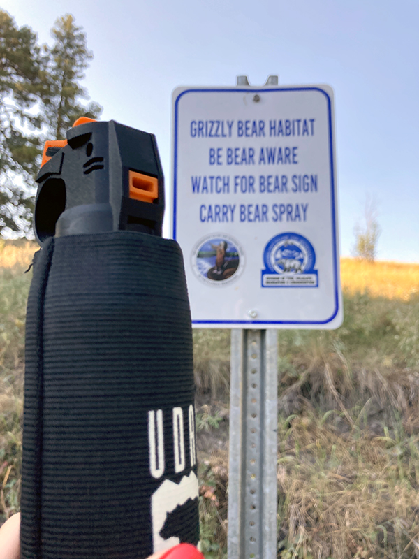
Always be prepared!
TRAIL RIDE
I found a local outfit that offered trail rides in the hills around Missoula. The trail took us through a forest of Ponderosa Pines with occasional views of the surrounding mountains. This ride was not nearly as interesting as my previous one in Red Lodge, Montana the previous summer but I always enjoy spending time on a horse.
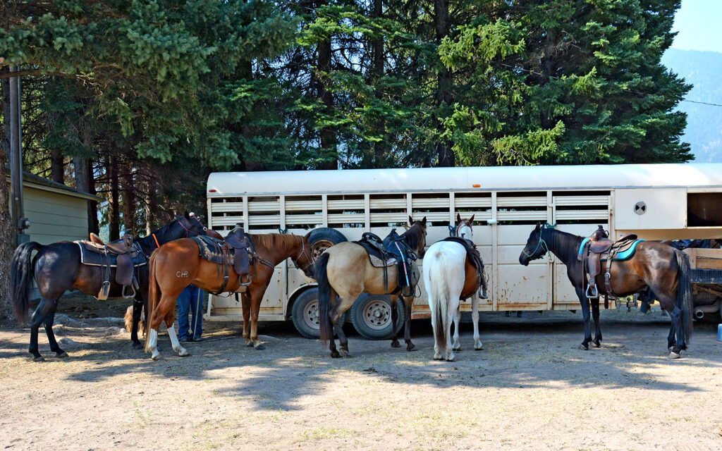
Horses lined up and waiting for us.
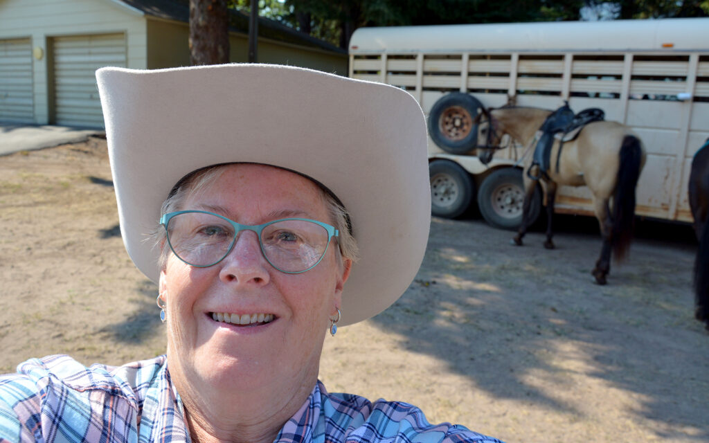
I know it’s a stupid grin but I like trail rides.
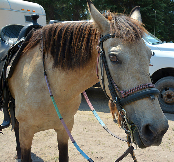
Meet Dixie, my mount for the day.
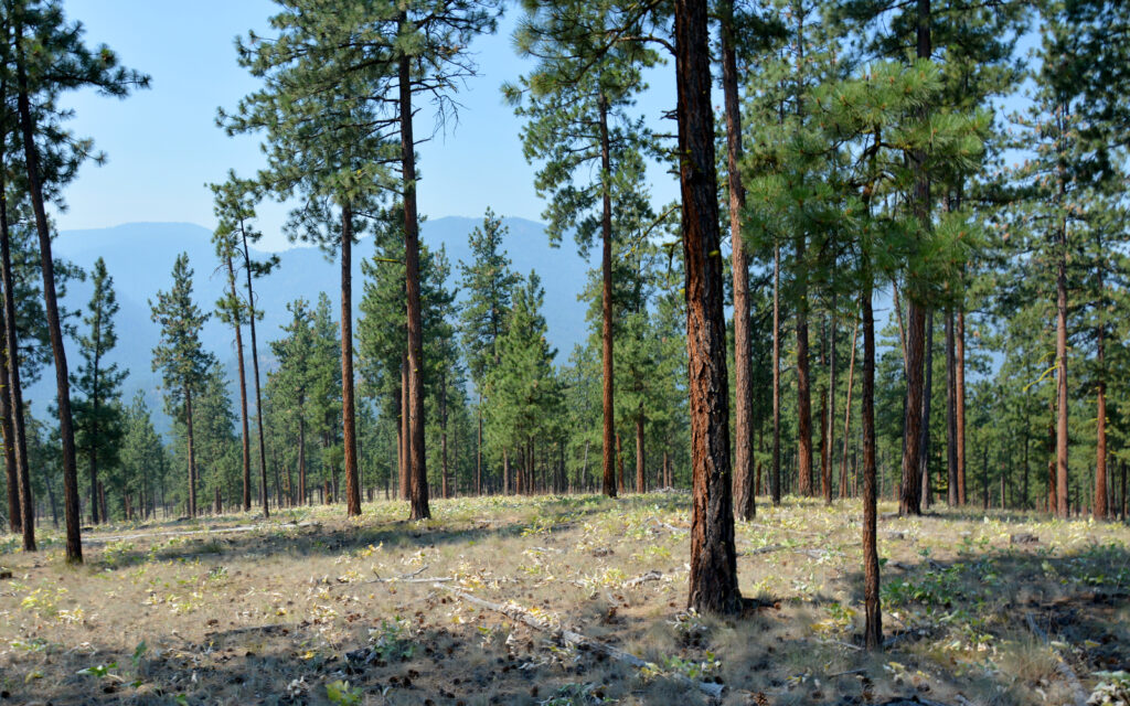
Scene from my trail ride.
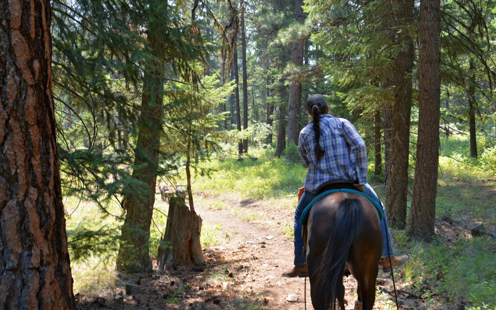
Our trailmaster leading the way through the forest.
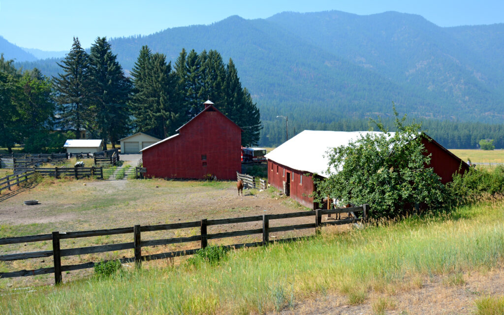
Returning to the farm.
THREE FORKS – July 27-August 3, 2021
MISSOURI HEADWATERS
I came to Three Forks for another piece of Lewis & Clark history. This is where they found the headwaters of the Missouri River. It was the hope of President Thomas Jefferson and Meriweather Lewis that by exploring the length of the Missouri, there would be found a water passage all the way to the Pacific Ocean. This would not be the case and the expedition would struggle greatly to make their way over the Rocky Mountains, eventually finding the Columbia River and ultimately the Pacific. And then, of course, they’d have to make their way back to tell of it.
As the longest river in the United States, the Missouri runs 2,341 miles from here to where it joins the Mississippi River in St. Louis. For a river of such magnitude, I found this location to be a bit anti-climactic. There are two other rivers—named for Jefferson and Madison by Lewis and Clark—that converge at this point and a third a mile downstream creating the Missouri. It seemed to me that the Missouri is simply a continuation of one of those rivers but who am I to question geographers?
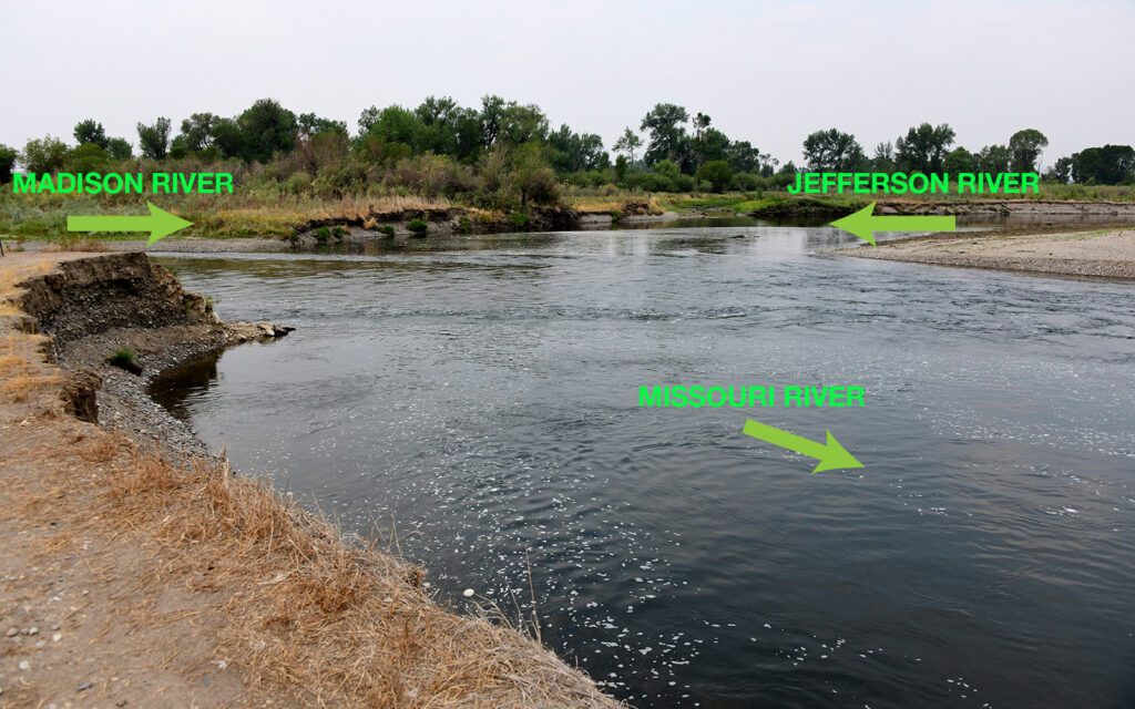
Perhaps more interesting than where the Missouri begins, is an event that happened nearby a few years after the Lewis & Clark Expedition returned to Washington, D.C. As a sign at this location states: “In 1809, two former expedition members John Colter and John Potts were trapping beaver on the Jefferson River near the headwaters when a band of Blackfeet Indians captured Colter and killed Potts. The Blackfeet gave Colter a chance to escape and provide themselves with a little entertainment. They stripped him, gave him a head start, and ordered him to run across a prickly pear cactus-covered flat east of the river. With the Indians hot on his heels, Colter undoubtedly made an all-time record that day for both sprints and long-distance events. He outran the Indians over a six-mile course and gained the cover of timber along the Madison River. Once in the stream, he may have hidden either under a driftwood jam or in a beaver lodge. The hide-out saved him from the disappointed and mystified Indians. When night came, Colter left his refuge and headed east, naked and weaponless. Over a week later, he reappeared, sunburned, emaciated, and with swollen feet, at the Missouri Fur Company trading post, Fort Raymond, at the confluence of the Yellowstone and Big Horn Rivers, more than 200 miles east of here.”
Anyone who has seen the “Lonesome Dove” mini-series will recall a similar scene with Jon Voight’s character in the sequel, “Return to Lonesome Dove.”
LEWIS & CLARK CAVERNS STATE PARK
Just 15 miles from town is the lovely Lewis & Clark Caverns State Park with beautiful vistas and a wonderful cavern. It cost $8 to enter the park and a $15 senior rate for the guided cave tour. Our tour guide, Sev, led us up the trail to the cave entrance. The trail was 3/4 mile in length and gained 300 feet in elevation. Once inside the cave, the path meandered for a mile through the mountain and came out at a lower point than we entered and then we had the long walk back.
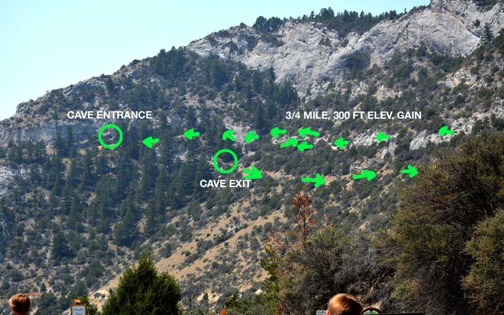
The arrows indicate the trail visitors must hike to get to the cavern.
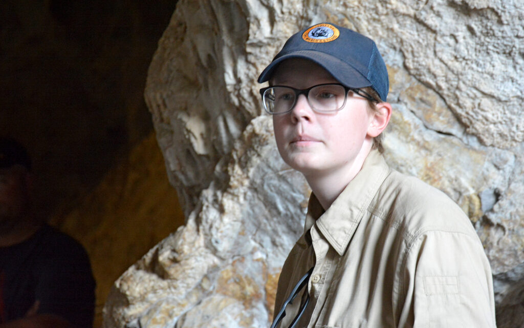
Our tour guide, Sev.
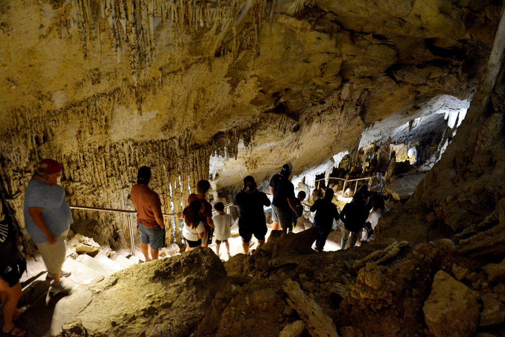
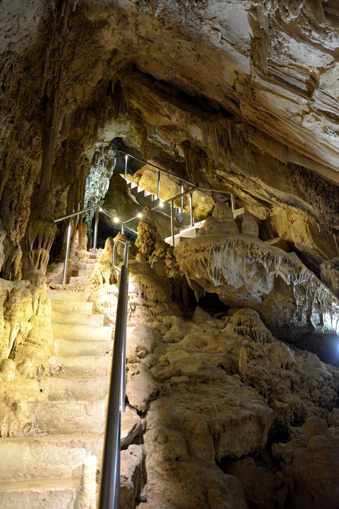
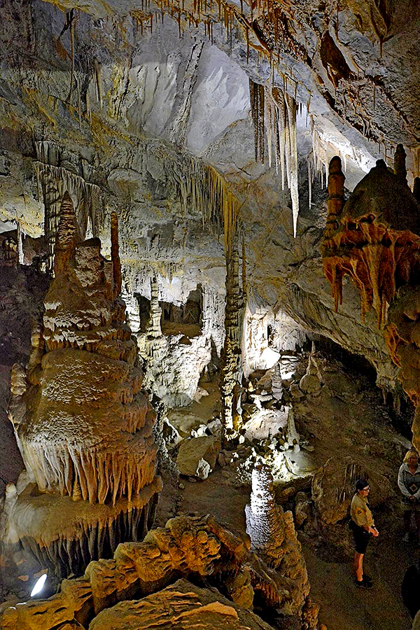
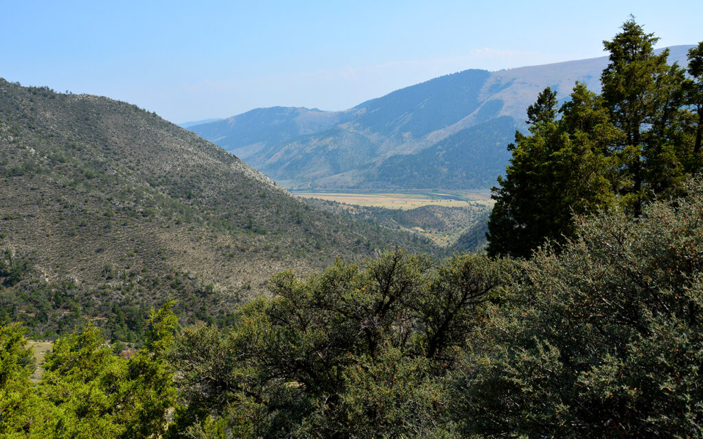
This view was seen from the trail after leaving the cavern.
While in the park, I found the Greer Gulch hiking trail, which took me up a series of switchbacks to a ridge with an awesome view.
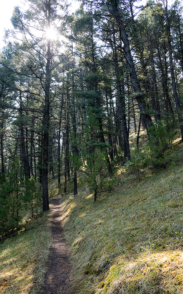
Greer Gulch hiking trail. I was sure to bring my bear spray.
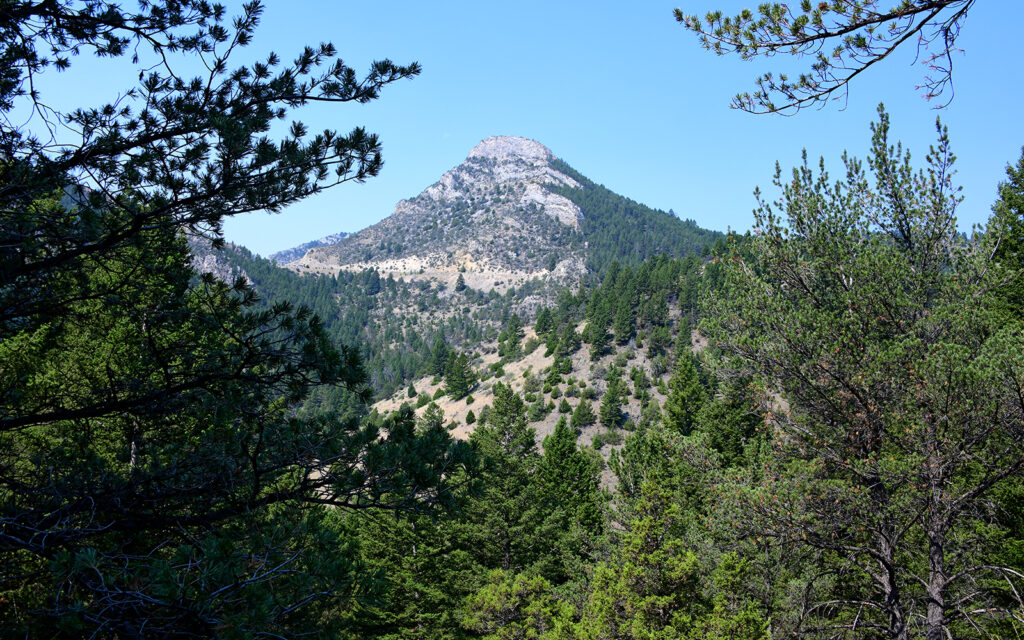
I was treated to this view from the top of the trail.
MADISON BUFFALO JUMP STATE PARK
Sixteen miles east of Three Forks is Madison Buffalo Jump State Park, which vividly illustrates a native hunting method of driving a buffalo herd up onto a flat mesa and then running them off the cliff to their deaths. Below the cliff, the women would kill any survivors and then skin and butcher them. To get that picture out of my head, I spent time enjoying the scenery.
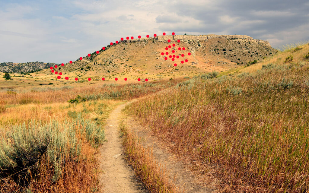
The red dots show the path that Indians would drive the buffalo up the mesa and off the cliff.
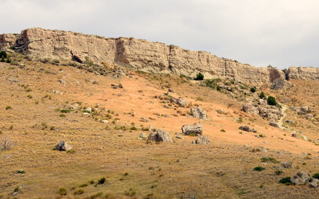
The ground below the cliff is permanently scarred from the activity.
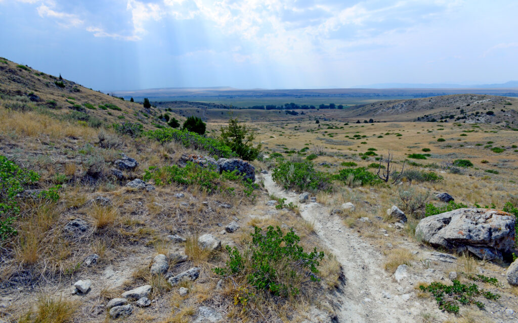
I set aside thoughts of the buffalo slaughter and enjoyed the scenery.
GARDINER – August 3-10, 2021
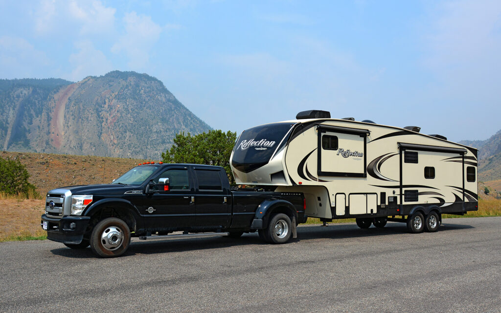
On the drive into Gardiner, I stopped for a photo at “Devil’s Slide,” a strange red mark on the hill in the background.
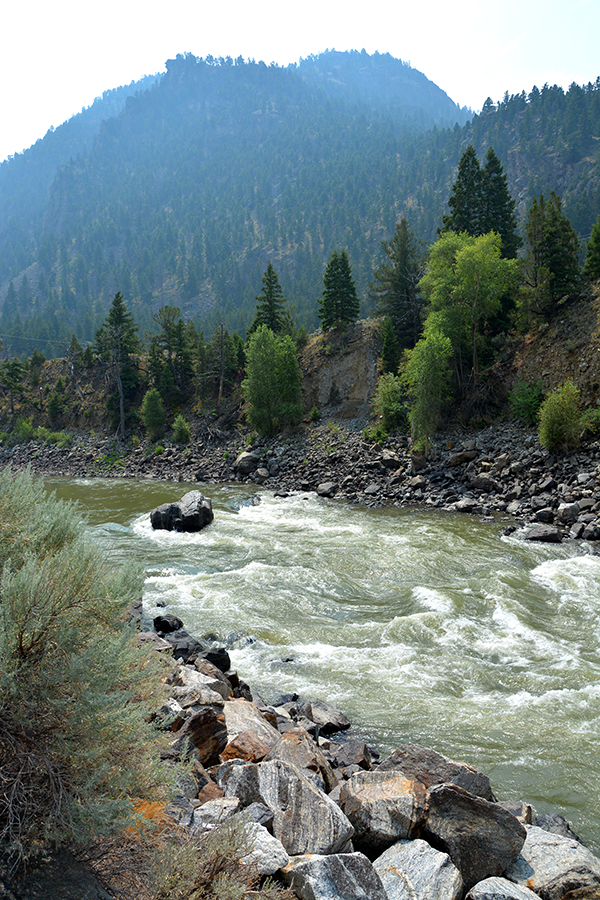
The road to Gardiner follows the Yellowstone River after it leaves the park. The Yellowstone runs north out of the park and then east across the entire state of Montana until it joins the Missouri River in North Dakota.
Gardiner, Montana is the location of the north entrance to Yellowstone National Park and the Roosevelt Arch, a grand 50-foot tall stone archway built in 1903 leading into the park. Here’s a little-known fact: the arch was not originally intended to honor Teddy Roosevelt but was named for him because he happened to be vacationing in the park during the arch’s construction and was asked to speak at the dedication ceremony. There is also a common misconception that Roosevelt established Yellowstone as a national park but it was, in fact, Ulysses S. Grant in 1872.
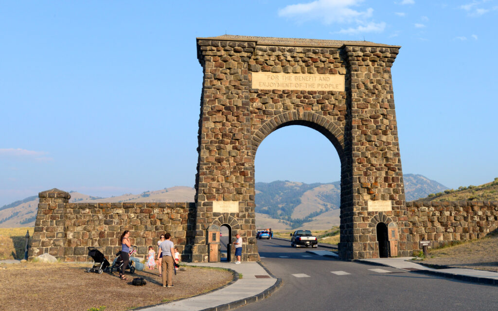
The Roosevelt Arch stands guard at the north entrance to Yellowstone National Park.
I stayed at Rocky Mountain RV Park, perched on a hill overlooking the town of Gardiner and the north end of Yellowstone.
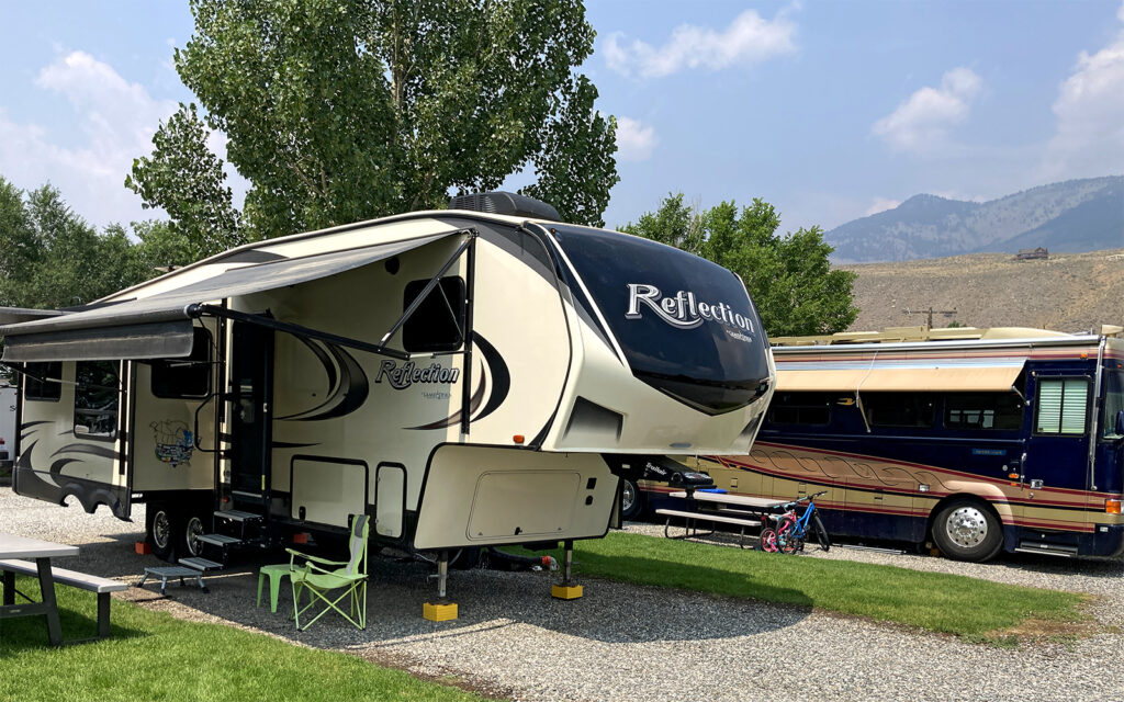
My campsite at Rocky Mountain RV Park in Gardiner, Montana.
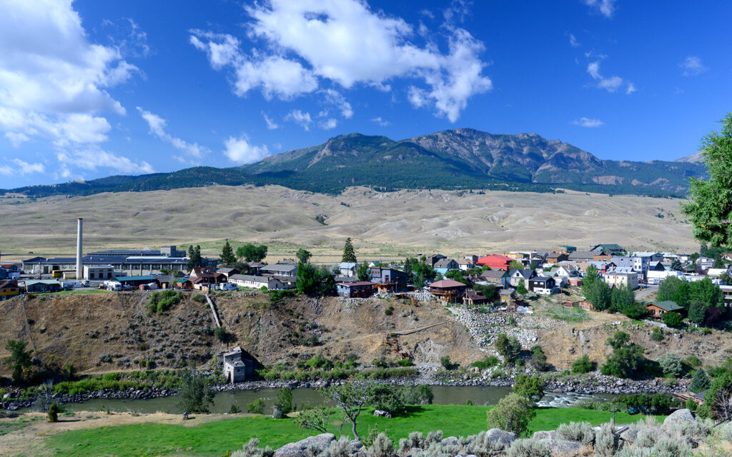
The view of Gardiner from the campground with the Yellowstone River at the bottom. In the distance is Electric Peak, the tallest in Yellowstone.
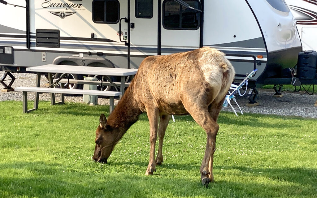
I think the elk here are more common than squirrels. They’re everywhere!
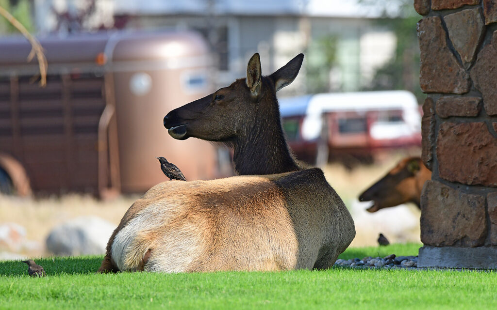
Elk resting in the churchyard behind the campground.
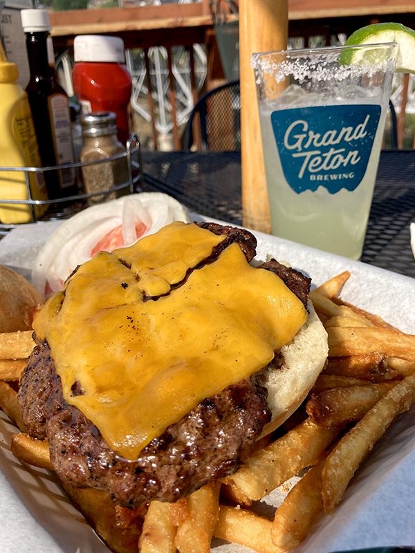
This elk burger was delicious at the Iron Horse Bar & Grill in Gardiner, Montana.
I would spend the next 7 days exploring much of Yellowstone National Park but I’ll tell you all about that in my next post.
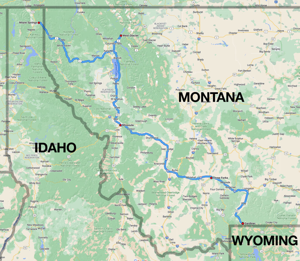
My 585-mile route from northern Idaho to southern Montana.
Next post: Yellowstone National Park.
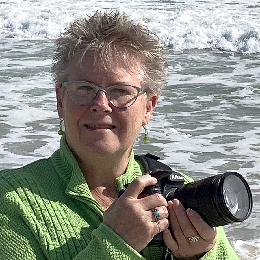
My name is Lindsay Reed. I’m a photographer and retired graphic artist with a passion for both lighthouses and road trips. I lived as a full-time solo RVer in my 33-foot Grand Design Reflection fifth-wheel trailer for over four years, traveling the U.S. and Canada photographing not only lighthouses but everything else there is to see in this wonderful land. I’m currently back on the road for a six-month trek to Alaska. I hope you enjoy my blog and the many adventures from my life on the road.