Big Bend National Park
I arrived at Big Bend National Park on February 19 for a six-day stay. I would have stayed longer but couldn’t get more than six consecutive days at this popular time of year. There are several RV campgrounds here but only one has full hook-ups, or any hook-ups for that matter. All the others are dry camping with no water, electric, or sewer at the sites. I like my creature comforts so I stayed at Rio Grande Village RV Campground at the far eastern edge of the park, on the Rio Grande River.
This campground is a re-purposed parking lot with room for only about 24 RVs. It was extremely difficult to back my trailer into the site since the spaces are perpendicular, with trailers directly across the way. By comparison, most back-in campsites are on an angle, making it much easier to maneuver. When I was checking in at the office, a couple approached me in the parking lot to ask about my Reflection because they had one and wanted to compare notes. The husband, Ed, offered to help me get into my site and I was quick to take him up on it.

The tight quarters at Rio Grande Village RV Campground.
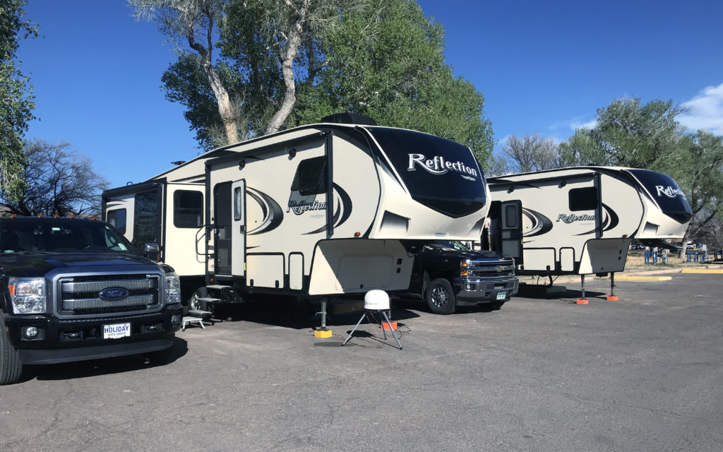
Later in the week, an identical Reflection pulled in next to me. Same year and model.
The first couple days, the weather was cloudy and rainy but I managed to take a drive to the northern end of the park for an off-road drive on Dagger Flat Road. This narrow dirt road goes about 7 miles to a turn-around, then back the same way. It is barely wide enough for my “Big Ass Truck” and I ended up getting a few “red neck pinstripes”—otherwise known as scratches—down both sides.
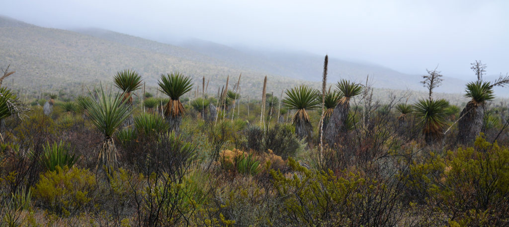
The scenery on Dagger Flat Road on a rainy day.
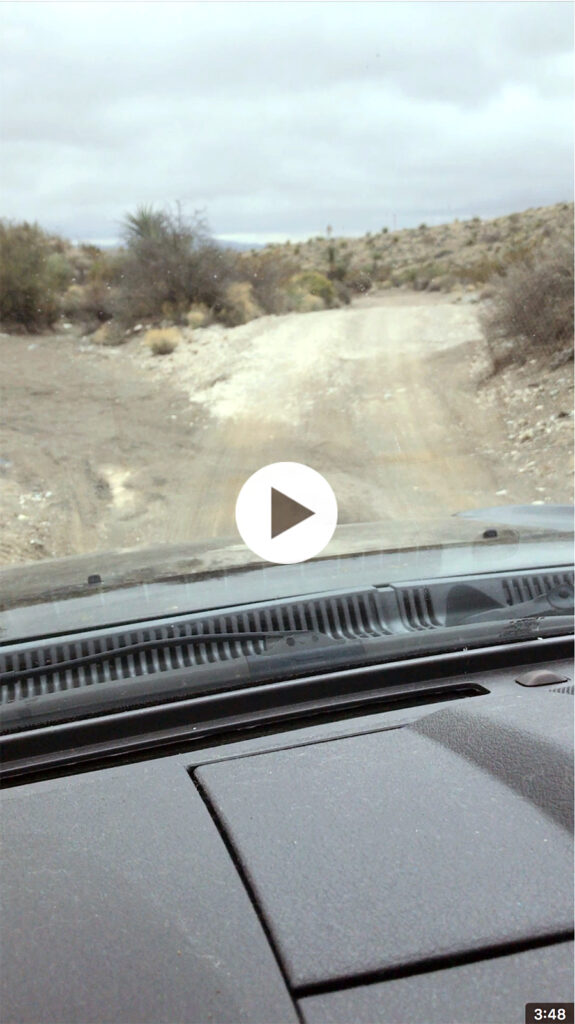
Click on the image for my driver’s view of off-roading. It’s kind of like a roller coaster ride.
My next adventure was a visit to Santa Elena Canyon on the far western edge of the park. The 1,500 foot walls are breathtaking and there’s an easy hiking path that goes about 1.5 miles into the canyon along the cliffs. The river was very low during my visit but kayakers were able to travel to this point from a put-in 13 miles up river. From here to the other side of the park, the river is almost non-existent and can be walked across while barely getting one’s feet wet.
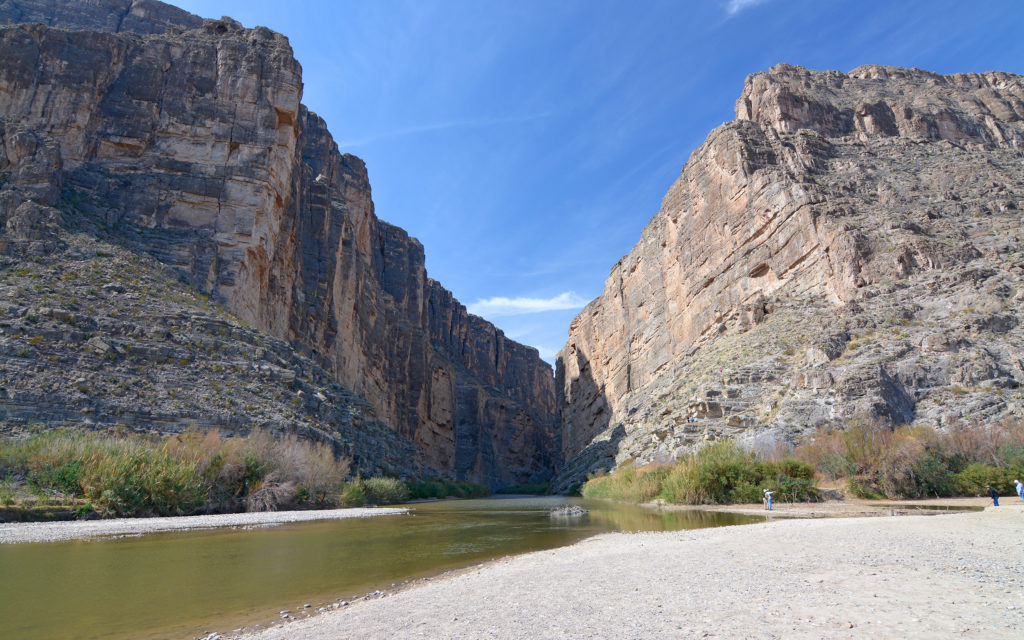
Santa Elena Canyon is 1,500 feet tall.
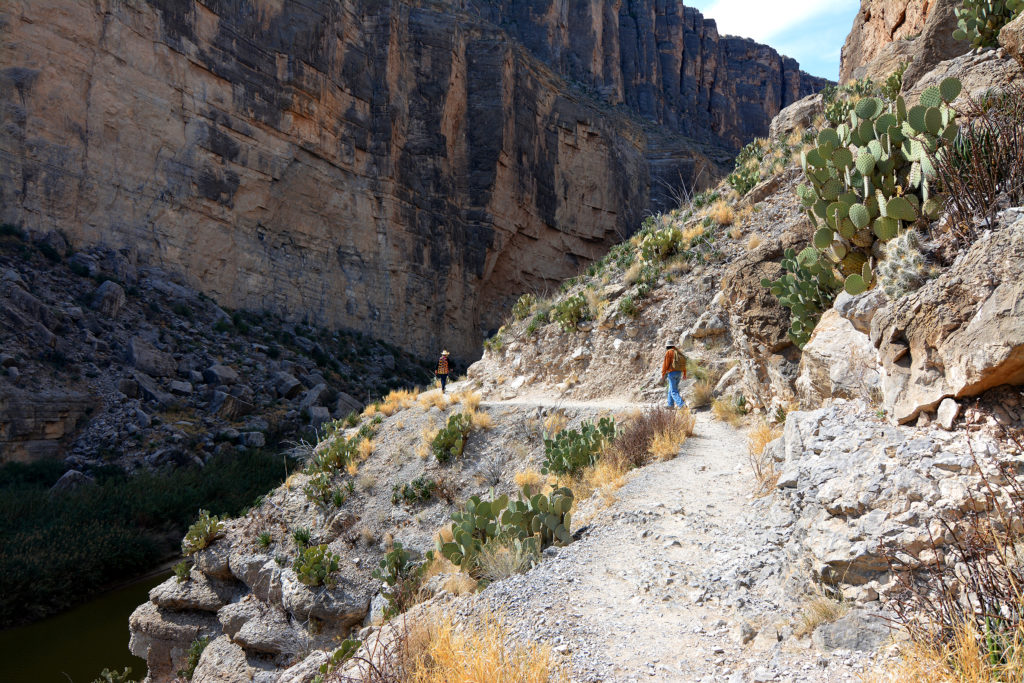
Hiking the canyon trail.
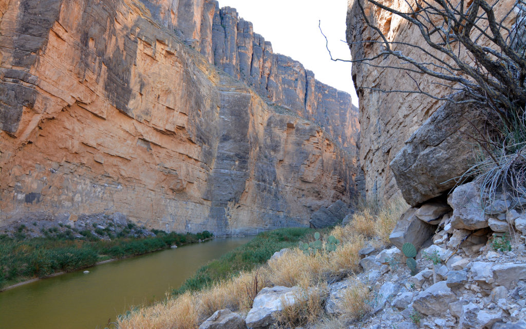
A mile or so up the canyon.
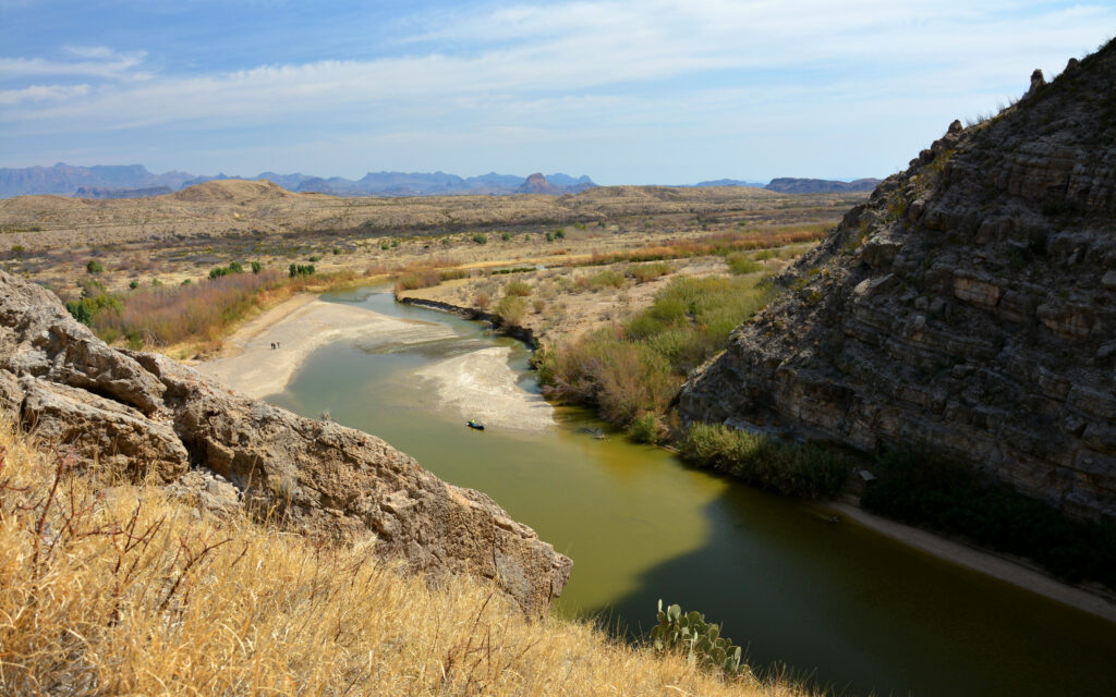
Looking southeast as the river leaves the canyon.

The narrow Rio Grande River snakes its way past the cliffs after passing through Santa Elena Canyon.
On my drive back from the canyon, I chose to take the 13-mile unpaved Old Maverick Road. I stopped in a desert wash to take a photo of “Big Ass Truck,” thinking it looked like a great Ford ad. Caution: you never want to be in a wash when it rains because they can quickly turn into raging rivers.
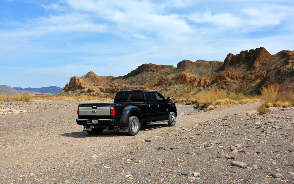
One of several Ford ad photos I took at the park.
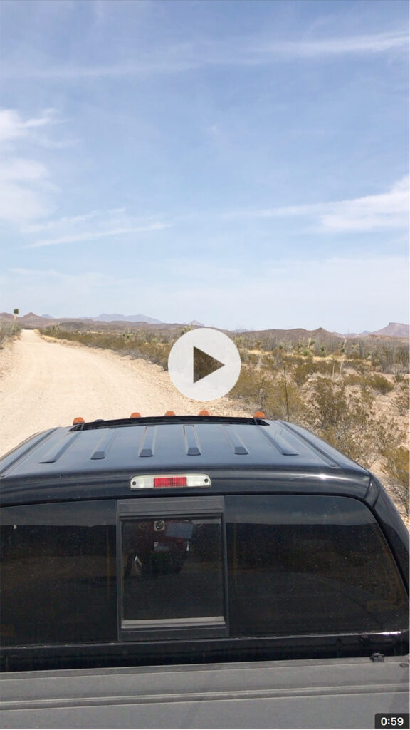
Click on the image for a 360° video of the park from Old Maverick Road.
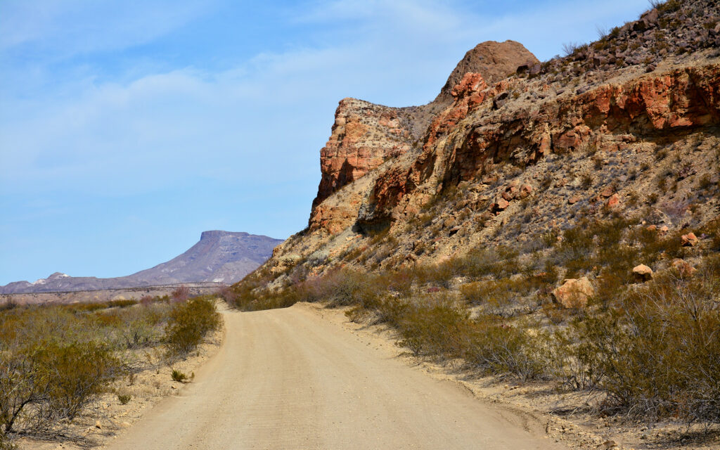
Driving Old Maverick Road.

Later in the week, I hiked a short trail behind the campground that went to the top of a hill overlooking a bend in the Rio Grande. Then I drove to a scenic spot where you can view the river and the small Mexican town of Boquillas. There is a port of entry near here where visitors can cross the border by paying Mexicans to transport them in row boats. You must have your passport, though.
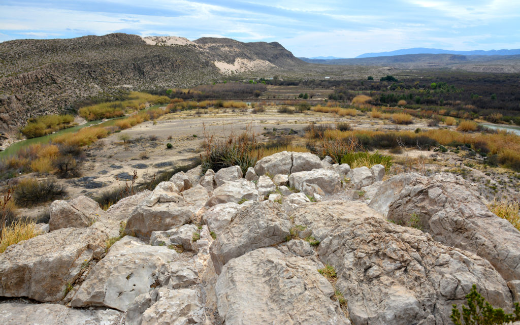
The view from the top of the hill, looking down on a bend in the Rio Grande. It curves from the right side of the photo to the left.
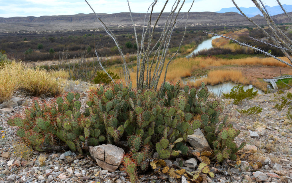
Cactus growing at the top of the hill with the Rio Grande in the background.
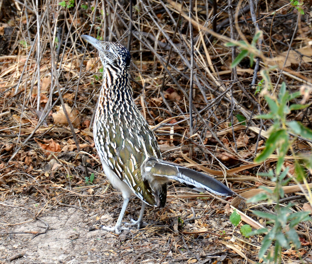
I spotted this roadrunner on the trail.
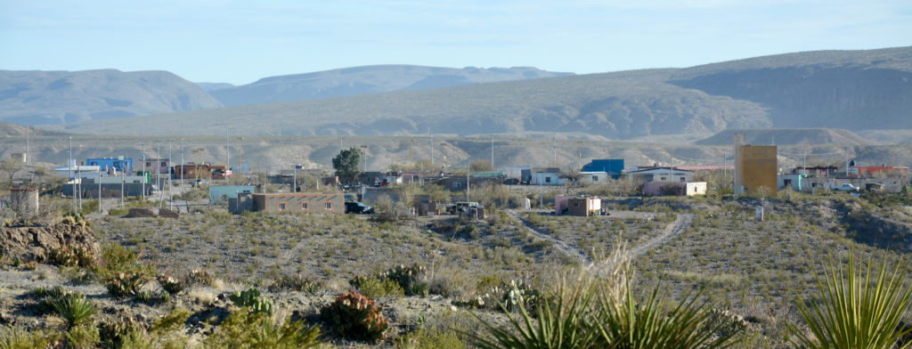
The Mexican border town of Boquillas welcomes American tourists.
My last adventure for the week was a visit to the Chisos Mountains in the center of the park. I had lunch at the Chisos Mountain Lodge with a nice view of The Window, a space between two mountains that provides a view of the vista beyond.
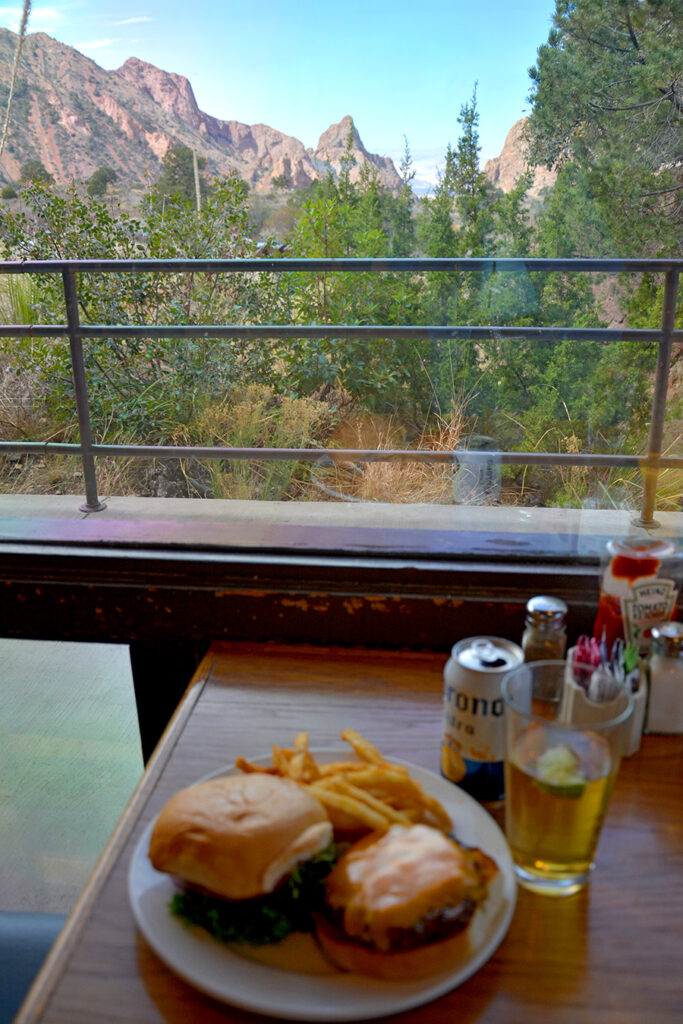
Lunch at Chisos Mountain Lodge with a view of “The Window.”
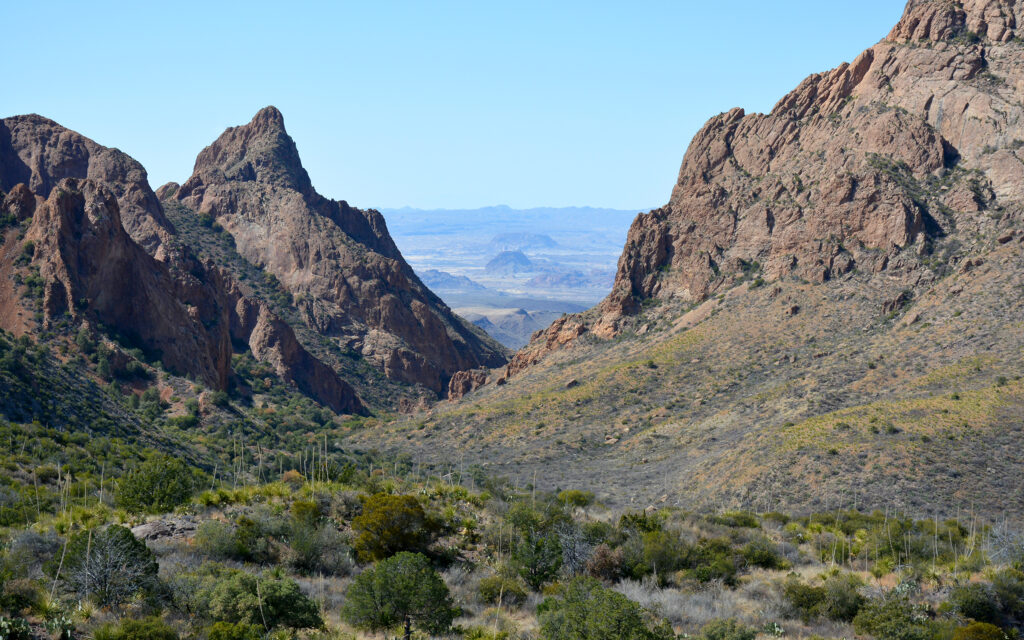
This spot is known as “The Window” because it frames the view of the valley beyond mountains.
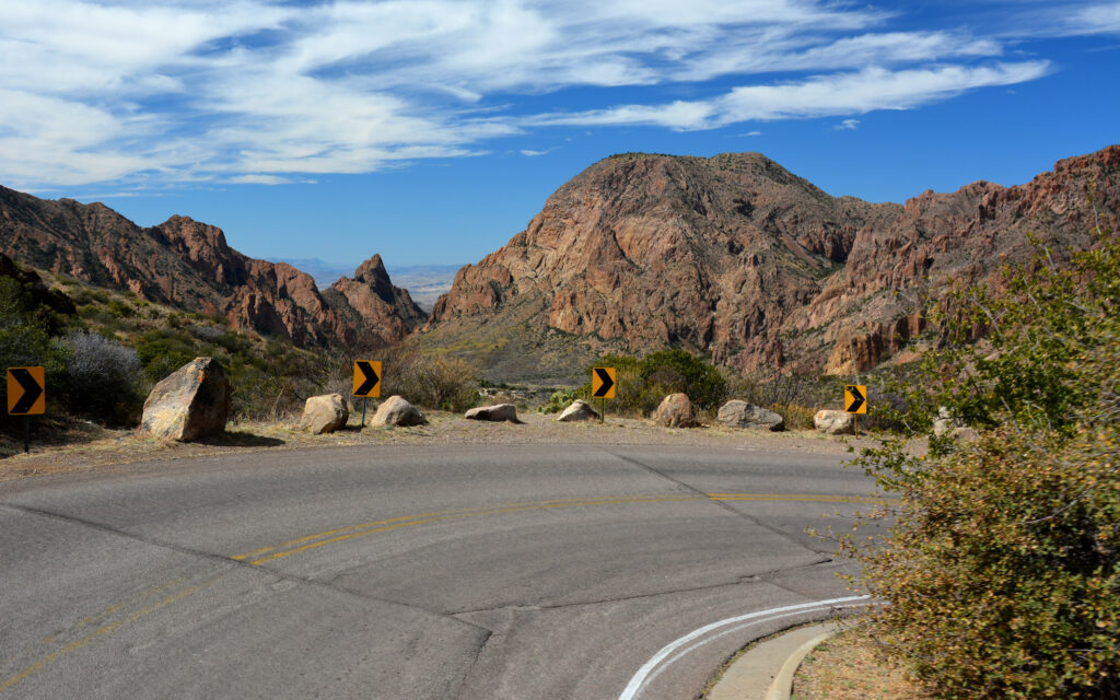
The winding road through the Chisos Mountains.
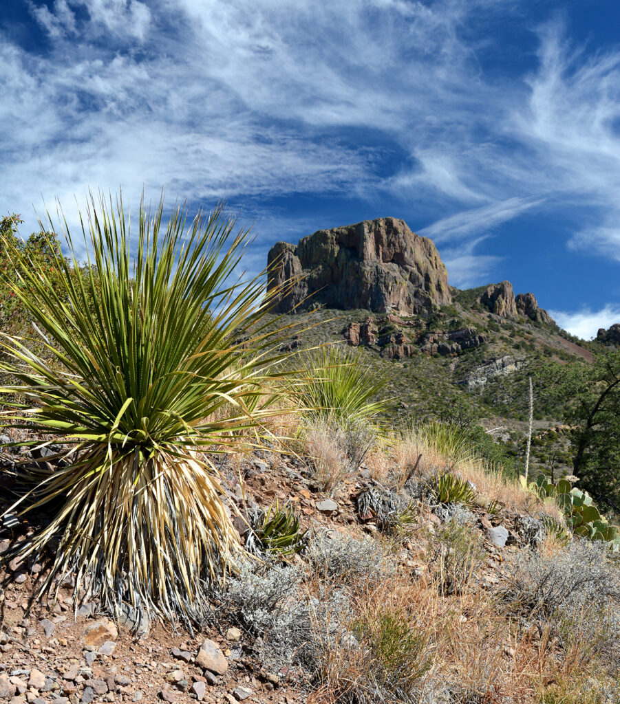
Casa Grande Peak in the Chisos Mountains.
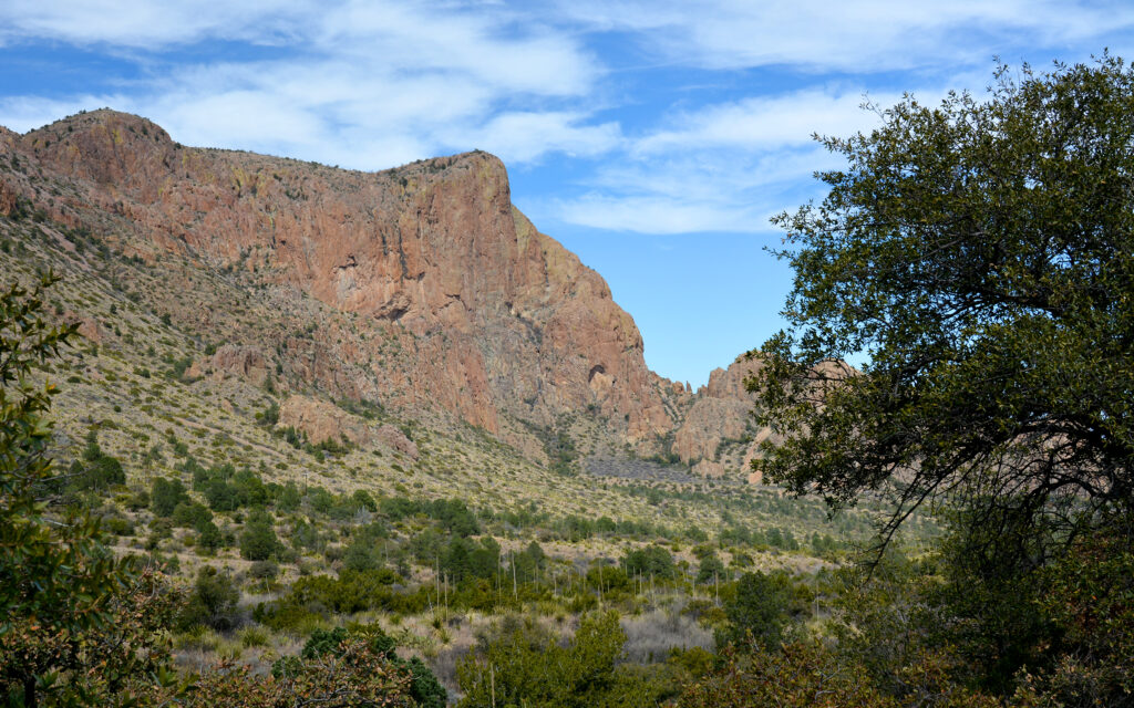
View from the road though the Chisos Mountains.
Miscellaneous views from around the park…
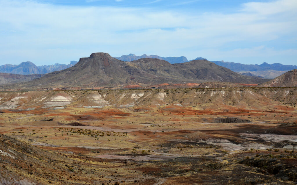
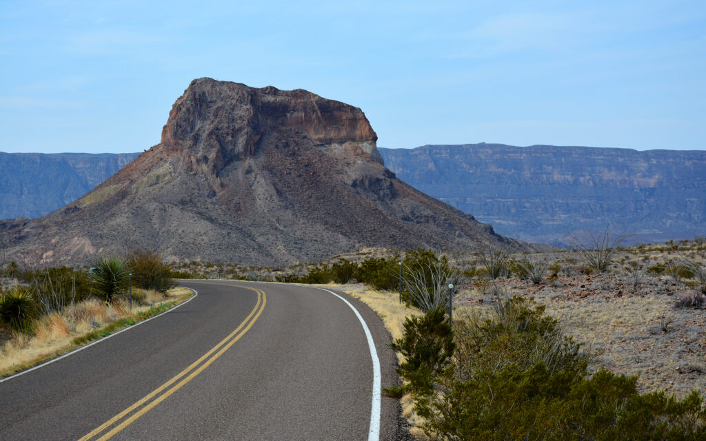

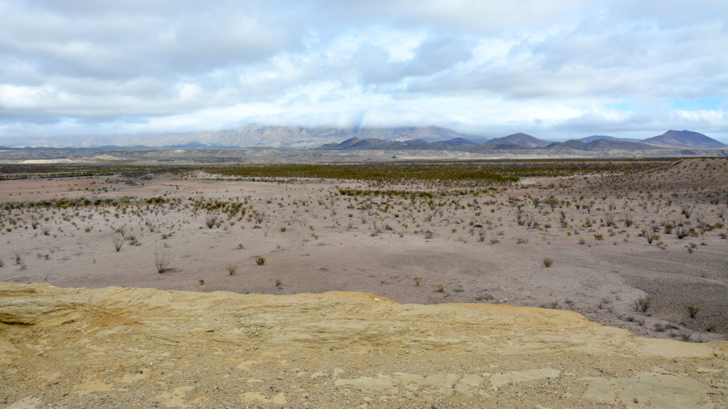
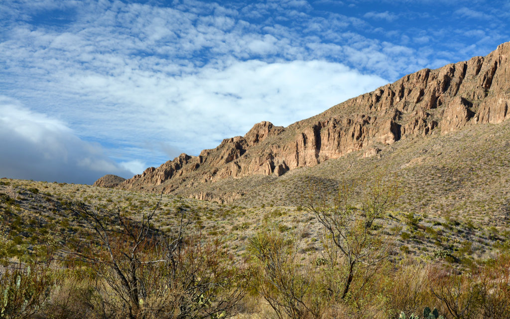
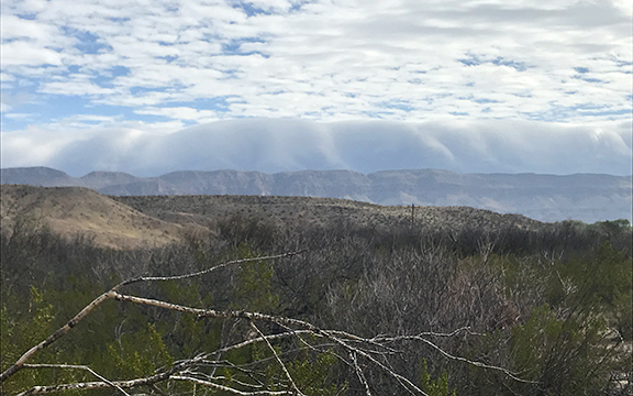
Clouds appear to be pouring over the top of the Sierra Del Carmen Mountains that form the eastern boundary of the park.
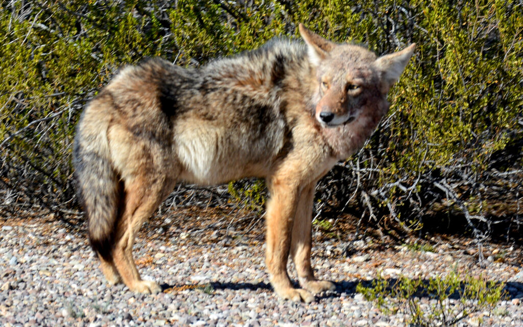
I spotted this coyote right on the side of the road. It was nice of him to stand still for a photo.
My roadside photos are taken by opening the truck door and standing up, wedged between the door frame and the roof. I’m supported by my left arm resting on the top of the door frame. This tactic gives me a nice elevated perspective but also results in frequent bruising on the back of my arm. What I go through for my art!

These bruises are a result of my method of taking photos from my open truck door.
On February 25, I left Big Bend National Park and headed north to Midland, Texas. On my way out of the park, I stopped for a glamor shot of my RV with the spectacular landscape. You’ll recognize this as the current masthead photo of my blog.
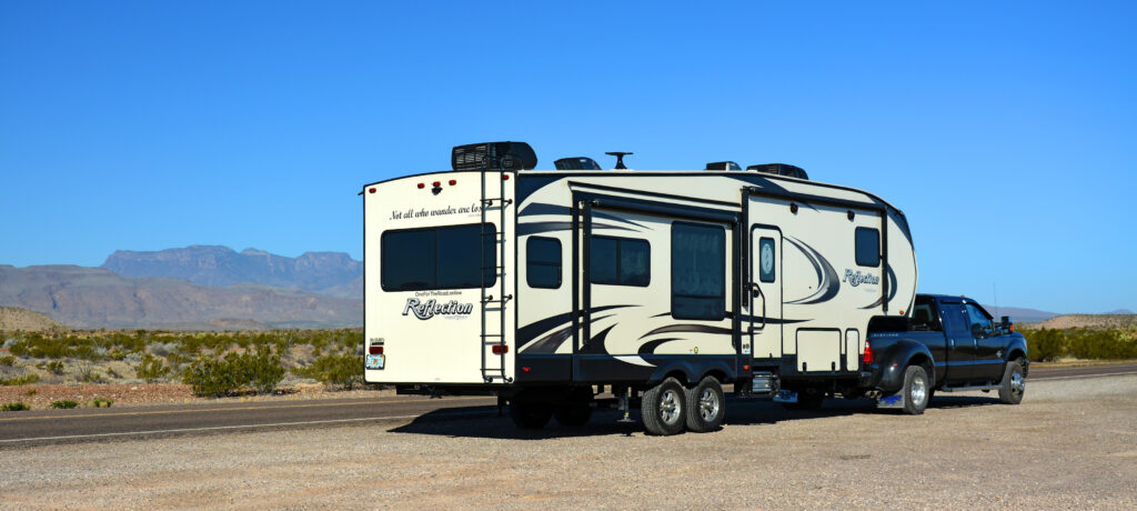
Leaving Big Bend National Park. The Chisos Mountains are in the background.
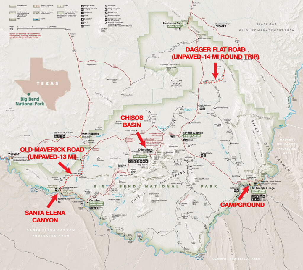
Big Bend National Park is 1,252 square miles and I drove more than 300 miles during my 6-day stay.
Next post: Midland and New Mexico.

My name is Lindsay Reed and I’m a photographer and retired graphic artist with a passion for both lighthouses and road trips. I am living as a full-time solo RVer in my 33 foot Grand Design Reflection Fifth Wheel trailer and plan to spend the next few years traveling the U.S. and Canada photographing not only lighthouses, but everything else there is to see in this wonderful land. I hope you enjoy my blog and will follow my adventures in the months and years ahead.